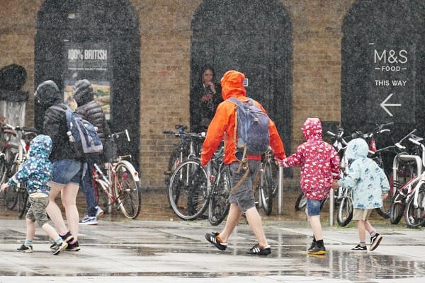
The Met Office has said the Atlantic air dominates this week, bringing largely cloudy and changeable conditions, with temperatures close to average.
Wind and rain will be most notable across southwest Britain initially, with eastern Scotland also seeing wetter and windier conditions from midweek.
Today, slow-moving weather fronts remain across the UK, bringing bands of cloud and rain to western and central areas. Elsewhere it will be drier with some sunny spells, though temperatures may feel chilly where it remains damp and overcast.
Tomorrow will be a brighter day for many, with cloud breaking across central and northern areas, but remaining around western and eastern coasts. Rain will move in from the west and winds will strengthen here too. A yellow warning for wind has been issued.
Met Office Chief Forecaster Paul Gundersen said: “A spell of strong winds and heavy rain is expected to affect southwest England and parts of Wales during Tuesday. Inland winds gusts could reach 45-55 mph, and possibly 60-65 mph over the most exposed hills and coasts.
“Heavy rain accompanies these winds and could bring some disruption to vulnerable places such as Cornwall, which is still feeling the effects of Storm Goretti.”
Through midweek, spells of rain and brisk winds will move north, interspersed with brighter intervals. The main watchpoint is for persistent and heavy rain in eastern Scotland. Whilst intermittent at first on Wednesday, rain will become persistent and heavy over high ground later in the day, continuing into Thursday and potentially Friday. A yellow warning for rain covers this period, with rainfall accumulations of 30-60 mm likely fairly widely inland, and as much as 80-120 mm possible over the highest ground exposed to the brisk southeasterly winds.
Met Office Deputy Chief Forecaster Dan Holley said: “Given the nature of the ground following recent rain and snow thaw, this may lead to some flooding in places. Rainfall totals will be smaller in coastal areas, but strong onshore winds and large waves at times will be additional hazards. Rain will also turn increasingly to snow on high ground through Thursday and Friday, which complicates the picture as to how quickly rivers may respond downstream.”
As we enter the weekend, we see a battle between Atlantic weather systems attempting to push in wet and windy weather from the west, while high pressure and colder, drier conditions attempt to exert some influence from the east.
Initially, milder Atlantic air is expected to dominate for most parts, with showers or longer spells of rain and temperatures around or a little above average. The exception to this is the far northeast of the UK, where it is likely to be colder from this weekend with some sleet or snow.
Met Office Deputy Chief Forecaster Steven Keates said: “While it does look increasingly likely that conditions will turn more widely colder into next week, the timing and extent of this colder air remains uncertain. There are variations between the different weather models, and although a few show very low temperature values, this is currently the minority. The majority indicate below-average temperatures from the east, but nothing too extreme at the moment.”


