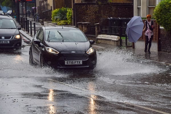
The UK will continue to see unsettled weather this week as we move into the start of August which will bring more rain and windy conditions in places.
Longer spells of rain are possible for most of this week and there will be drier and brighter interludes, but it will generally be cloudy with breezy conditions from the Atlantic which will see temperatures on the cool side.
On Tuesday many areas will be drier as a deep low-pressure system will rapidly approach from the west and on Wednesday most of the UK will be wet with windy conditions which will last through to Thursday.
Met Office Chief Meteorologist Steve Ramsdale, said, “On Wednesday there is a chance of impacts both from rainfall and strong winds. Persistent rain feeding into eastern part of northern England in particular, sees the risk of some surface water flooding.
!There is also the potential for some heavy and thundery showers, which could be slow moving in places with a risk of hail, across central and southern areas. The stronger winds however are more limited to the south coast.
“With the school holidays underway and many families planning outdoor activities the unseasonably strong winds could also have an impact.
“While many coastal areas will see breezy conditions at times through the week, some stro”g or even gale force winds are possible along coastal areas of the south and south-west through Wednesday in particular.
!With the changeable conditions this week it is important to stay up to date with the daily forecast, and plan accordingly.”


